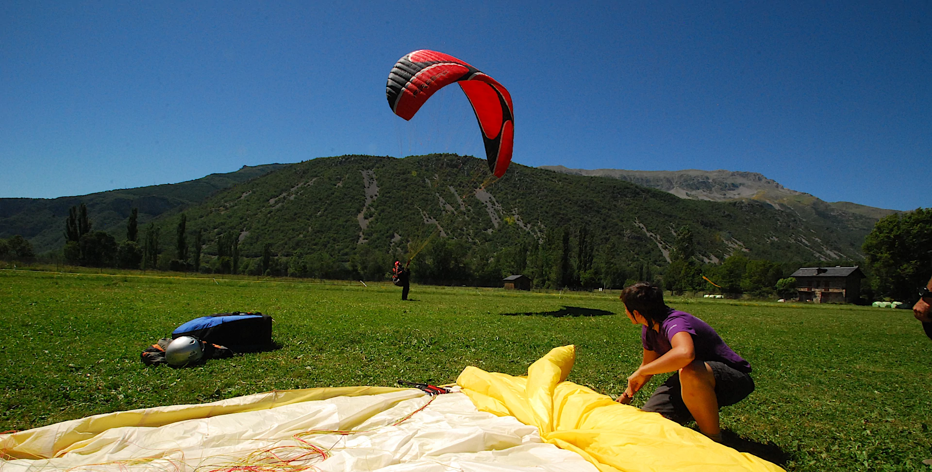
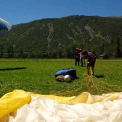
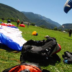
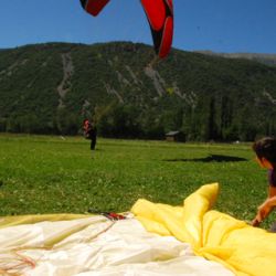
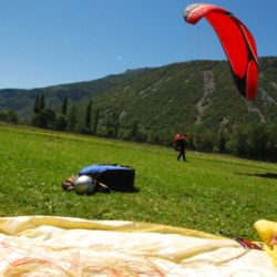
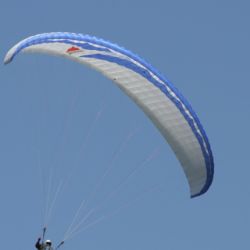
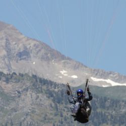
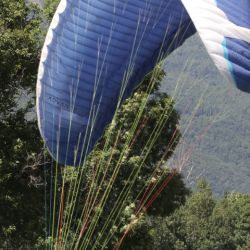
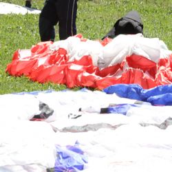
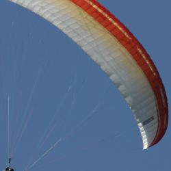
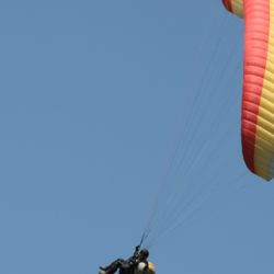
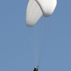
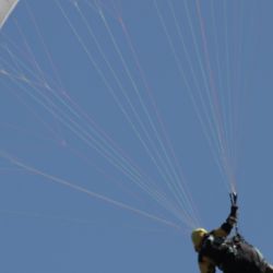
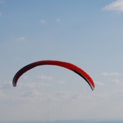
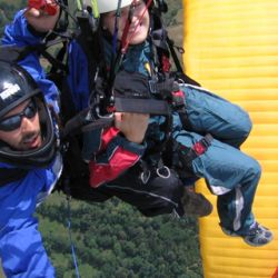
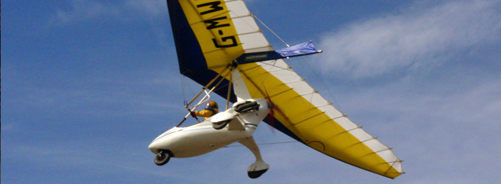
Benasque Valley is one of the best flying sites in Spain for its excellent weather and spectacular views over the Pyrenees, especially on Posets and Maladeta massifs, with the highest concentration of peaks over three thousand meters.
Castejon de Sos, is the reference of national paragliding. It has excellent infrastructure, including several schools, many related utilities and a shuttle service to take-off at the summer months. The town has hosted countless national and international competitions, including several World Championship events, demonstrating their preparation and organizational skills.
The Sierra de Ubiergo in the Pyrenees, also has good flying conditions, with a warmer climate that allows the practice during most of the year.
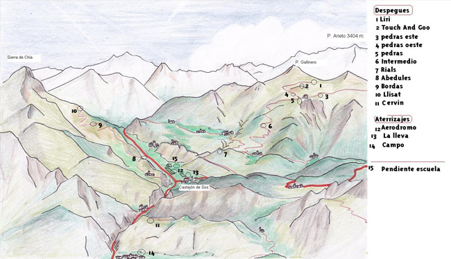
TAKEOFFS
|
Liri |
|
|
Altitude: |
2.300 m |
| Landing: |
900 m. |
|
Slope: |
1.400 m. |
| Orientation: |
SW |
| Access: |
from Castejon de Sos, 19km, of which only 4 km are paved and the rest to come up with 4x4 track |
|
Touch and go |
|
|
Altitude: |
2.250 m |
| Landing: |
900 m. |
|
Slope: |
1.350 m. |
| Orientation: |
SE, NE y NW |
| Access: |
from Castejon de Sos, from Castejon de Sos, 18km, of which only 4 km are paved and the rest to come up with 4x4 track |
|
Bordas |
|
|
Altitude: |
7.760 m |
| Landing: |
900 m. |
|
Slope: |
860 m. |
| Orientation: |
E |
| Access: |
from Castejon de Sos, 4x4 or van 12km + 5 minute walk, strong slope |
|
Llisat |
|
|
Altitude: |
1.920 m |
| Landing: |
900 m. |
|
Slope: |
1.020 m. |
| Orientation: |
NNE |
| Access: |
from Castejon de Sos, 16km 4x4 or van + 15 minute walk from the trough |
|
Pedras Blancas |
|
|
Altitude: |
2.090 m |
| Landing: |
900 m. |
|
Slope: |
1.900 m. |
| Orientation: |
ESE, SW, NW |
| Access: |
from Castejon de Sos, 4x4 or van 17km |
|
Intermedio |
|
|
Altitude: |
2.300 m |
| Landing: |
900 m. |
|
Slope: |
1.400 m. |
| Orientation: |
SW |
| Access: |
from Castejon de Sos, 19km, of which only 4 km are paved and the rest to come up with 4x4 track |
|
Rials |
|
|
Altitude: |
1.200 m |
| Landing: |
900 m. |
|
Slope: |
300 m. |
| Orientation: |
SW |
| Access: |
from Castejon de Sos, 4 km of paved road. The trail exits just in front of the small church, we followed him for about 8 minutes on foot. |
|
Abedules |
|
|
Altitude: |
1.250 m |
| Landing: |
900 m. |
|
Slope: |
450 m. |
| Orientation: |
NE |
| Access: |
from Castejon de Sos, Chia and 5km to 600m. Trail in good condition. |
|
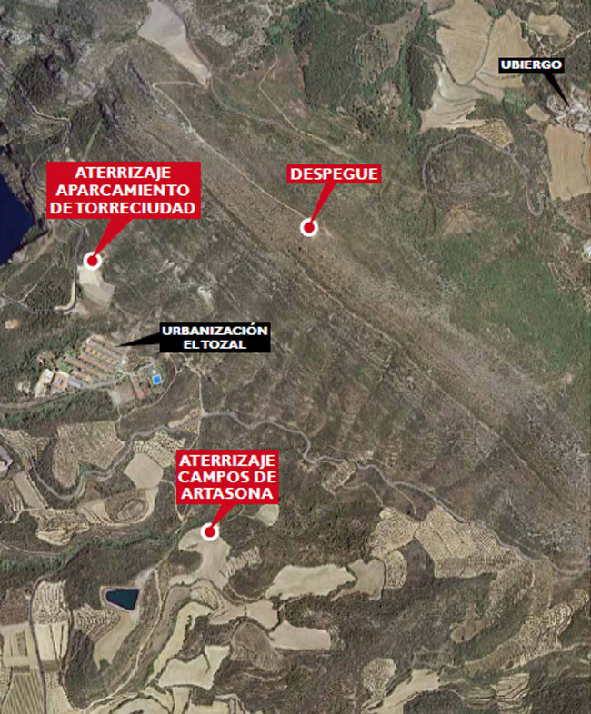
Tozal Gordo |
|
|
Altitude: |
745 m |
| Landing: |
525 m |
|
Slope: |
220 m. |
| Orientation: |
SO |
| Access: |
from Secastilla go to the port of Torreciudad and turn left into the path of the antennas. |
Where I can practice?
-
- Castejón de Sos
- Chía
- Secastilla
Paragliding takeoff map in Castejón de Sos
Mapa de despegues de parapente en Secastilla
|
|
Época Recommended season: from spring through October. |
