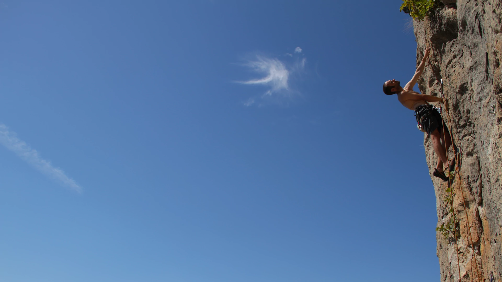
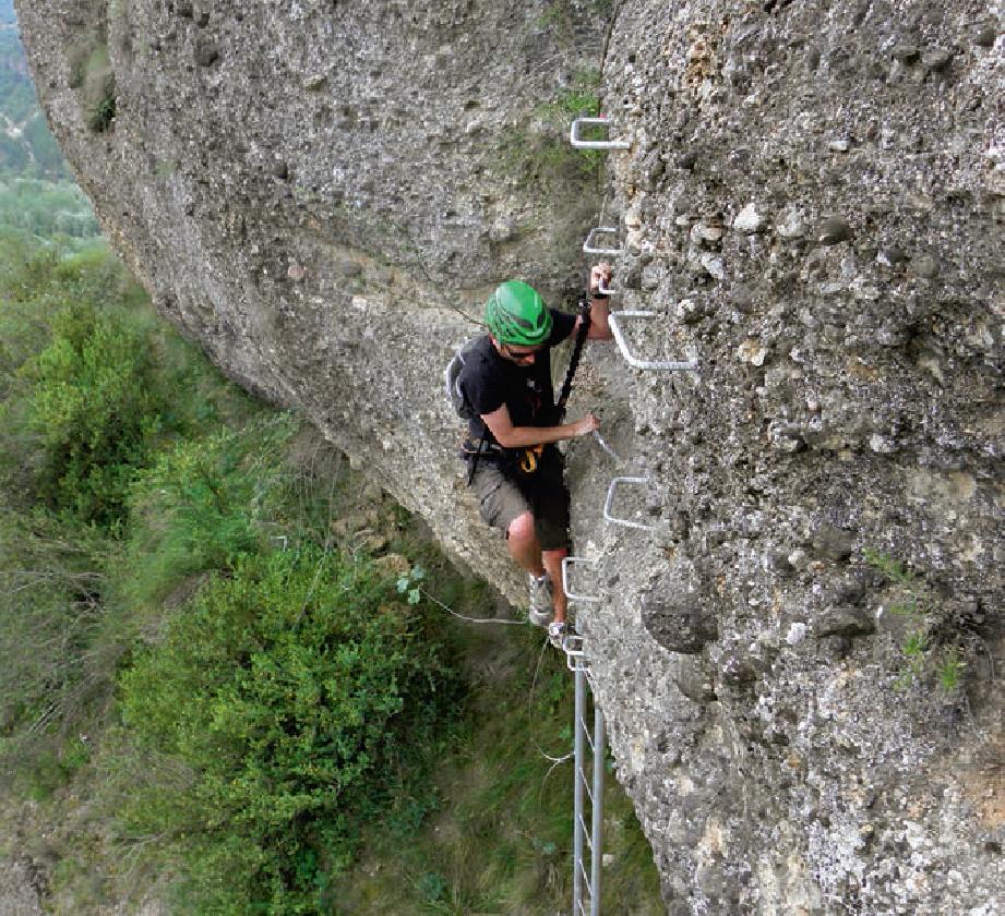
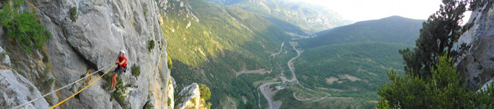
A via ferrata is both a horizontal and vertical itinerary consisting of safety equipment: steel cable and rings to secure or descend, and progression equipment: pegs, steps, chains, bridges. This equipment allows access to steep rock walls, with the obligatory use of equipment and specific progression techniques for via ferratas.
- Mandatory material: helmet, harness, anchor ends with heatsink and carabiners, boots and safety rope.
- In case of not having specific knowledge, hire the services of a professional guide.
- Avoid the presence of more than one ferratista between anchorage sections.
- Avoid falling stones.
- In the event of a thunderstorm, move away as quickly as possible from the ferrata equipment.
- It is essential to have a certain physical condition.
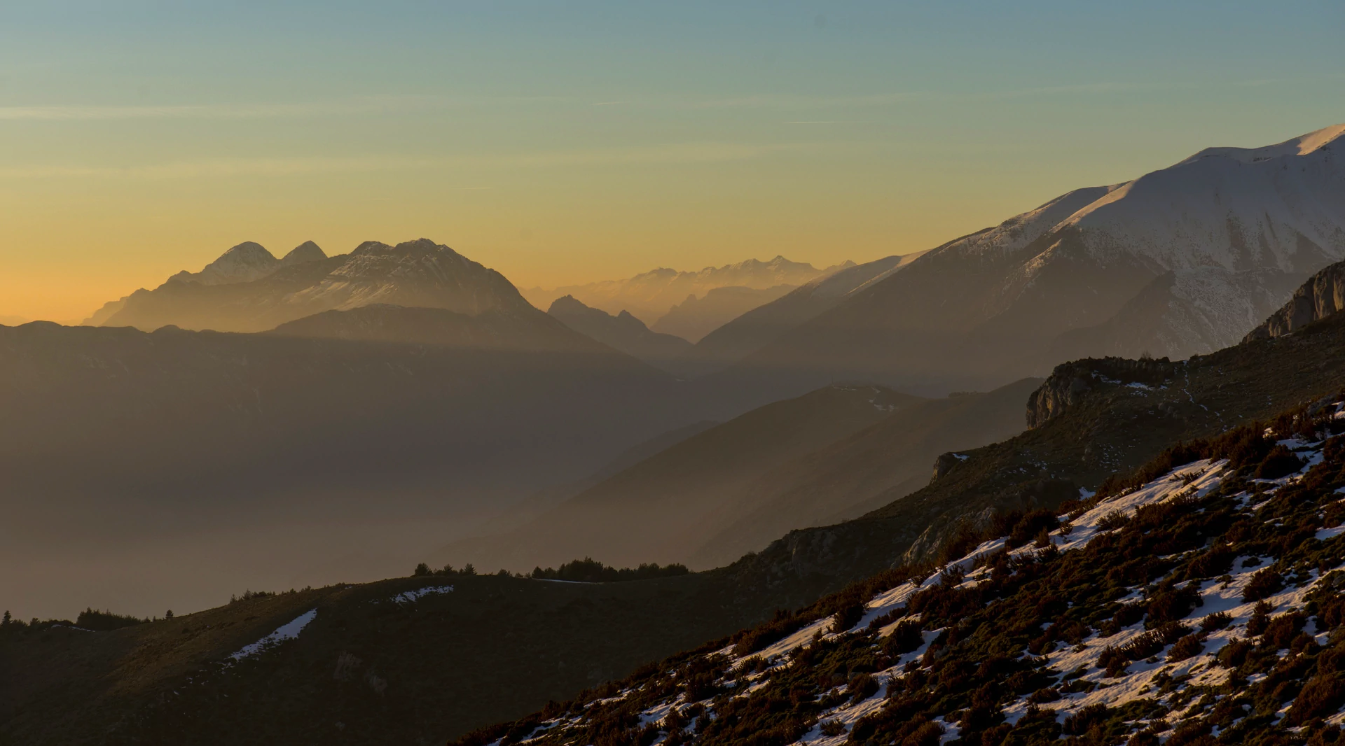
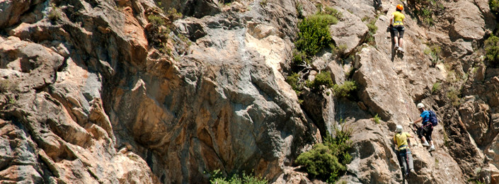
Sacs (Benasque)
 How to get there
From Benasque, on the A-139, continue towards Llanos de Hospital and at the height of the detour that goes up to Cerler, take a small dirt road on the left towards the river. Park in front of the power station.
Approximation:
Descend the PR-HU30 towards Benasque and a climbing area indicator. Pass a wooden bridge and just before crossing another you have to turn right on a path uphill towards a torrent, start of the 7' road.
Return:
2 possibilities: go down rappelling through the ferrata itself or take any of the two signposted paths.
Sheet:
Walking approach: 7 min
Route: 1h and 20 min
Return: 35 min
Length: 550m
Gradient: 350m
Orientation: S S-E
Difficulty: 3/5
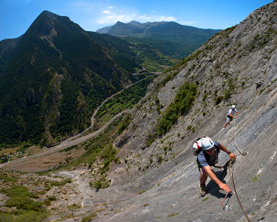
Castellaso (Sesué)
How to get there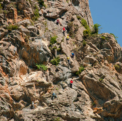 Direction Sesué, on the A-139, take a detour that goes to the campsite La Borda de Arnaldet. Then take a detour to the top right, which becomes a track, indicated with a wooden sign.
Approximation:
High iron poles serve as a reference to find the start and also help the red marks on the same dirt track where the car is parked. When we reach the panel of the via ferrata we are 20 meters away from starting the road, next to large blocks of stone.
Return:
From the top take a path that descends to the north. When you reach a meadow the path gradually turns east and you can see the Hermitage of San Saturnino that rises on a natural balcony. Continue along the winding path.
Sheet:
Walking approach: 3 min
Length: 40 min
Return: 20 min
Length: 280m
Gradient: 180m
Orientation: S
Difficulty: 3/5
Foradada (Foradada del Toscar)
How to get there
On the N-260 leaving Foradada del Toscar towards Samper, pass the Collado de Foradada and before the sculpture in honor of King Gonzalo de Ribagorza (high metal spears nailed to the ground), which is on the left, you can see a small entrance on the right with a wooden indicator. The track is not in very good condition (only 4x4)
Approximation:
Go up the dirt track until you find the via ferrata indicator panel.
Return:
The end of the road coincides with a staggered section, until the beginning of the ferrata there are about 15 minutes of descent along a decomposed path especially in the first section.
Sheet:
Walking approach: 15 min
Route: 1h and 55 min
Return: 35 min
Length: 600m
Gradient: 240m
Orientation: S
Difficulty: 3/5+
Peña del Morral de Graus
How to get there
We will continue along the stairs and the path that go up to the viewpoint of the Peña del Morral, where the sculpture of the Heart of Jesus is located. 3 or 4 minutes after starting this path, in whose very marked curve, we will find a fork that leaves in a northerly direction and that will take us to the beginning of the Via ferrata in about 10 minutes.
Approximation:
Climb the path that goes up to the Mirador de la Peña del Morral.
Return:
The descent is done by the comfortable path, carved into sections of the rock, which leads us to the Basilica of the Virgen de la Peña, from where we will reach the starting point in about 15 minutes.
Sheet:
Walking approach: 15 min
Length: 45 min
Return: 15 min
Length: 250 m
Gradient: 180 m
Orientation: NO
Difficulty: 2/5
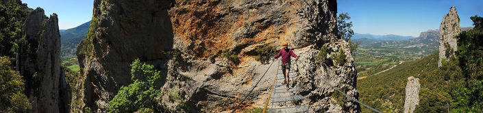
Obarra
How to get there
With only one vehicle: leave the car park following the A-1605 road in the direction of Bonansa; when one approaches the 1st tunnel on the far side of the river, about 30 meters from the mouth, you see the beginning of the road that starts from the same side of the road, already equipped with cable and staples.
With combination of vehicles: leave a vehicle in the town of Ballabriga (parking 2) and return with the other vehicle to parking 1, from where the activity begins.
Approximation:
Next to the tunnel of the monastery of Obarra, direction Bonansa on the A-1605 road
Return:
From the top continue tied to the cable and this leads us through some destrepes and some easy grassy channels until linking with the GR-18.1. Here the cable disappears and a well-defined path leads in the direction of Ballabriga (southbound).
Those who have not made a combination of vehicles will have to continue going down once they reach the village by the road.
Sheet:
Walking approach: 5 min
Route: 3h and 30 min
Return: 20 min (to Ballabriga)
Length: 1.000 m
Gradient: 300 m
Orientation: S
Difficulty: 4/5